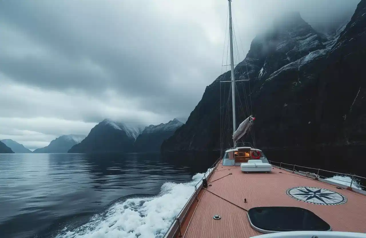
Navigation in the coastal waters of Northern Norway can be demanding, due to topography and variable weather. Solid navigation skills and preparation give a safe and comfortable journey in most conditions.
Norwegian nautical charts. Norwegian charts are of high quality and comprehensive to read. Most paper charts on board the Boreal Yachting fleet refer to WGS-84, with some exceptions for charts produced before 1992. For more information on charts and datums, consult the Norwegian Mapping Authority.
Tidal water. Tidal water and current are important factors for sailboats. The approximate difference between mean high and low water ranges from 2.0 m to 2.7 m depending on the port. Under some conditions the range can almost double. Consult the tide tables on board or download up-to-date information from the Norwegian Mapping Authority.
Tidal streams. In the fjords of Norway, tidal streams must be taken into consideration. Generally the tidal stream runs north on flood and south on ebb, but this is not always the case. Consult Den Norske Los for details on each area. Sailing with the stream always gives a better atmosphere on board than sailing against it.
Significant tidal streams in Northern Norway include:
- Saltstraumen (8 kn, 67°14'N 12°37'E) — dangerous, always consult Boreal Yachting before entering
- Røst/Værøy (5–6 kn, 67°35'N 12°26'E) — dangerous, always consult Boreal Yachting before entering
- Moskenesstraumen (6+ kn, 67°49'N 12°50'E) — dangerous, always consult Boreal Yachting before entering
- Nappstraumen (4 kn)
- Gimsoystraumen (4 kn)
- Raftsundet (7 kn)
- Øyhellesund (4 kn)
- Risøyrenna (6 kn)
- Rystraumen (7 kn)
- Tromsoysund (3 kn)
- Kvalsundet (6 kn)
- Magerosund (4 kn)
- Kvalsund (4 kn)
- Svalbard – Axeløya (6 kn)
- Svalbard – Forlandsrevet (4 kn)
Wind. Wind conditions vary throughout the year. The roughest period for sailing is normally October to January. The rest of the year, storms are rare and short-lasting. The fjords of Northern Norway offer alternative and protected routes, allowing for a comfortable journey in most weather.
Fall wind. Due to the steep mountains and many fjords, fall winds — winds that accelerate downslope from a mountain because of their low temperature and greater density — may arrive on very short notice, even on a calm and sunny day. They often, but not always, develop in easterly winds along the coast. These gusts can be dangerous for the few seconds they last. Observe the conditions and avoid exposed situations.
Weather forecast. Always get the latest weather forecast. Norwegian marine forecasts are generally accurate and available from many sources. Marine VHF broadcasts the forecast daily at 0600, 0900, 1200, 1500 and 1800. Norwegian Broadcasting (radio) provides frequent updates, mostly in Norwegian. For internet users, yr.no is the standard reference, with a mobile version at m.yr.no.
Underwater rocks and shallow areas. Most fjords offer plenty of water under the keel, but some areas demand more attention. Charts mark the safe waterways (Farled); pay attention to these navigation marks and follow them.
Equipment on board. All yachts have up-to-date navigation equipment. Guests should become familiar with charts, pilot books, chartplotter, radar and other equipment before the trip starts. Pilot and guide books available on board include Den Norske Los Volume 5 (Rørvik to Lødingen/Andenes), Volume 6 (Lødingen/Andenes to the Russian border) and Volume 7 (Svalbard, available in English and Norwegian), as well as the Norwegian Cruising Guide and Havneguiden (with English summaries). An electronic copy of the Norwegian Cruising Guide can be downloaded at a favourable price.
These guidelines cover the basics. More detail is available in the pilot books on board every yacht, and our crew are available for questions.
About the author
Boreal Yachting crew
Skippers and guides, Tromsø
Written by the Boreal Yachting editorial team using operational knowledge from the skippers and guides who sail Northern Norway and Svalbard.
Meet the crew